Puna Weather
Monday 12th October 2026
Today increasing humidity and showers as the day progresses. Winds light from the east, becoming moderate from the southeast.

Tonight warm and humid with numerous showers and moderate southeast winds.

Tuesday warm and humid with numerous showers early, then showers decreasing through the day.

Wednesday and Thursday less humid with light winds and VOG possible.

Friday through Sunday moderate east or northeast trade winds and scattered windward showers.

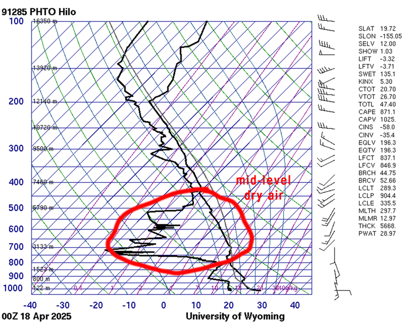
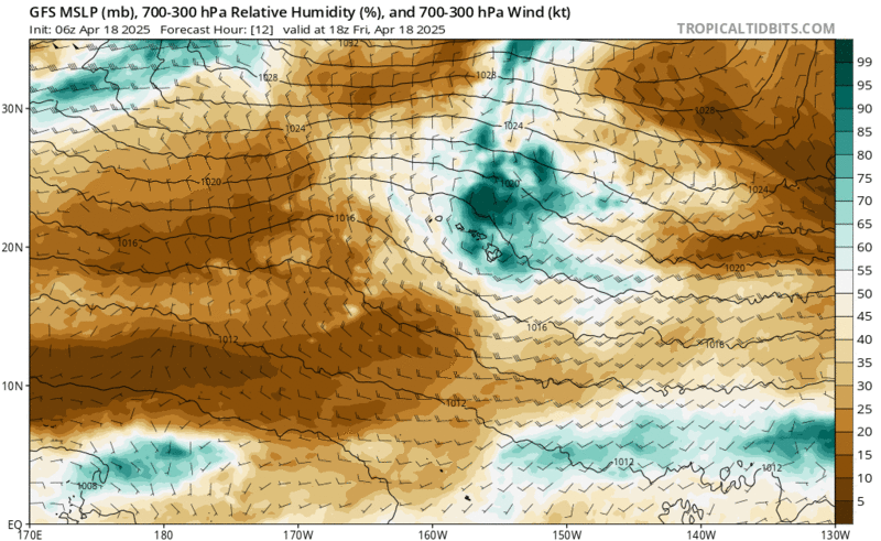
A small and weak mid-level low is traversing our island today from east to west. This afternoon the low will be to our west, placing us in moist southerly flow aloft (700mb loop). At the surface winds continue to be mostly from the east or southeast. The combination of moisture and favorable low level wind direction will likely make for a rainy afternoon and evening... maybe into early Tuesday. The low fizzles out Tuesday allowing our atmosphere to dry out.

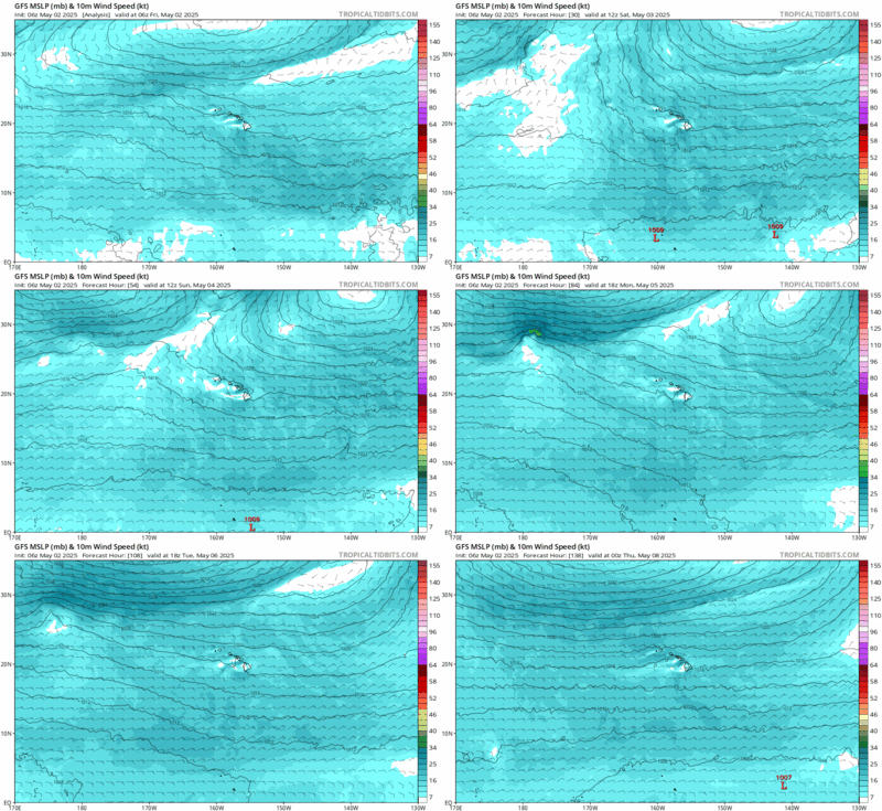
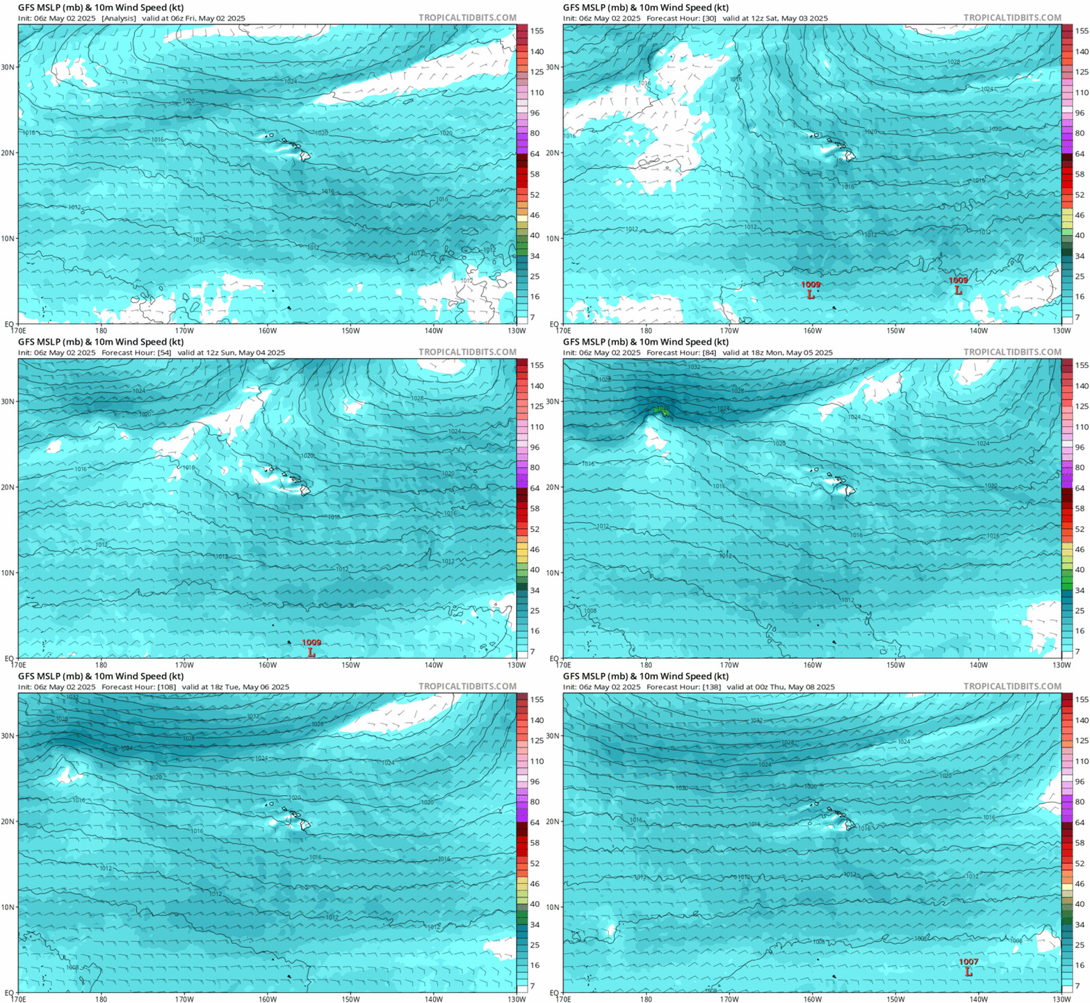
In the far northern Pacific a front is moving from west to east and will disrupt our trade winds late Tuesday through Thursday. High pressure rebuilds to our northeast as we head into the weekend (surface loop) as we're forecast to begin a long period of more typical trade wind weather with showers mostly during the night and early morning hours.